
Greenwood ZIP Directory Coverage
Official Greenwood planning material identifies two ZIP codes in the city's postal geography. USPS also lists both with Greenwood, Indiana. Neither code belongs only to the city, and neither should be used as a legal municipal boundary. The available official sources do not support adding more ZIP numbers or claiming a complete neighborhood list for every edge.
| ZIP Code | Areas Covered | Post Office | Notes |
|---|---|---|---|
| 46142 | Part of Greenwood-related postal geography | Greenwood postal association | Not exclusive to Greenwood; does not match city limits |
| 46143 | Part of Greenwood-related postal geography | Greenwood postal association | Not exclusive to Greenwood; does not match city limits |
The Greenwood ZIP code directory is therefore a starting filter. For one location, use the USPS ZIP Code Lookup. For a visual check, use the Indiana map, while retaining its stated 2021 map vintage. A postal label can remain stable even when annexation changes municipal context.
Map Greenwood ZIP Geography
The Indiana ZIP map gives useful visual context for 46142 and 46143. It is based on 2021 data, so it should not be treated as a live survey or a legal boundary source. Compare its postal shapes with the municipal polygon in Greenwood's public GIS before making a city claim.
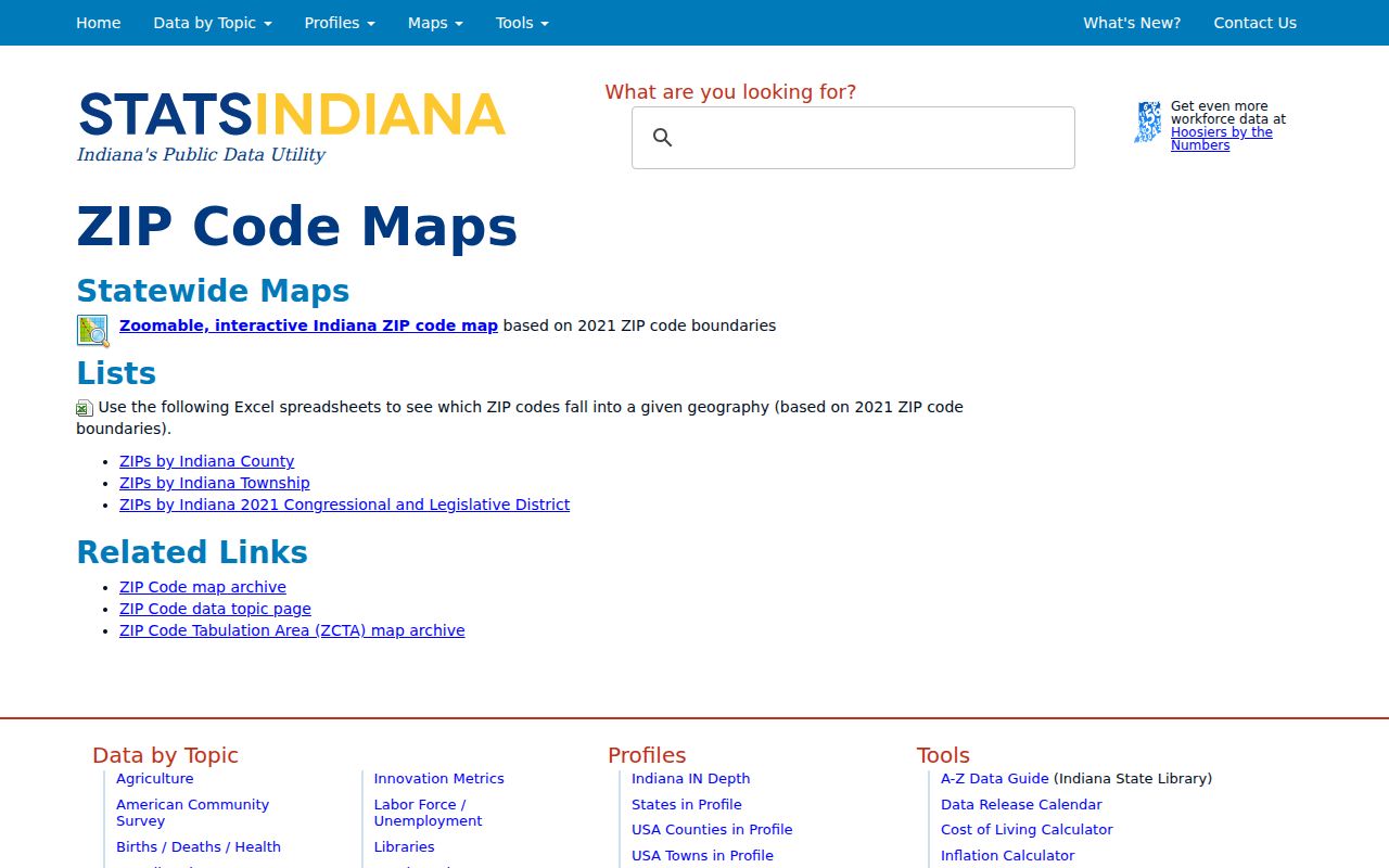
The captured map is useful for orientation, especially near a ZIP edge. It does not name residents, prove that an address lies inside Greenwood, or replace an address-level USPS result.
Preserve Greenwood Address Fields
Small address details prevent false matches. Save the full number or number range, prefix, street name, suffix, alternate suffix, unit type, and unit ID. Then retain both city and postal city, plus ZIP and ZIP+4 when USPS returns them. Greenwood ArcGIS can add municipality, township, range, section, subdivision or place name, parcel ID, address point ID, site address ID, alternate ID, and a verification flag.
| Source field | What it helps check |
|---|---|
| USPS address, city, state | Postal form, unit detail, and standardized ZIP result |
| ArcGIS FULLADDR2 | Municipal full-address form |
| ZIP, CITY, POSTAL | Postal and municipal labels kept as distinct fields |
| TOWNSHIP, RANGE, SECTION_ | County and land-grid context |
| Parcel and address IDs | Links a place across map and permit layers |
Keep the source date as well. A current service, historical directory, tax card, deed, permit, and map can all show a valid address for different times.
The unit field matters in Greenwood developments with many addresses on one road. A base street number without an apartment, suite, or other unit can produce multiple postal matches. It may also lead to the wrong parcel or permit record. Preserve punctuation and directional terms when first copying an address, then test standardized variants only if the official tools disagree. When an ArcGIS verification flag is present, save it as a field from that municipal layer, not as broad proof that every part of the mailing address is current.
Standardize a Greenwood ZIP
USPS is the first authority for postal formatting. Its lookup asks for a corporate or residential street address, city, and state. If more than one match exists, the service may need fuller street or unit details. The result can settle the mailing city and ZIP format, but USPS cautions that standardization does not guarantee a business location.
Next, compare that postal result with the Greenwood Address Parcel layer. If the city, postal, or ZIP fields differ, report both rather than picking the more convenient label. A postal place name answers a mail question. The municipal layer answers a service and boundary question.
For an older address, repeat the check with a dated city directory, map, plat, deed, or permit. Postal names and parcel identifiers can shift on different schedules. A historical source should be quoted with its publication year, while a live portal should carry the date it was checked. This protects a sound historical match from being rejected merely because a modern tool now formats the place in another way.
Note: USPS standardization confirms postal form, not Greenwood residency or municipal jurisdiction.
Search Greenwood by ZIP Code
Official tools do not provide an unrestricted list of every resident in a ZIP. Instead, use the postal code to narrow records that are already organized by place. Greenwood ArcGIS exposes ZIP, city, postal, and full-address fields. Beacon supports address and parcel searching. The Treasurer result list displays city and ZIP with tax and parcel context, but the portal warns that its output is not for official use.
- Enter the complete address in USPS and save the standardized postal result.
- Check Greenwood ArcGIS for the ZIP, city, postal, municipality, and parcel fields.
- Use Beacon or the Treasurer tool for the property question, keeping owner or tax names separate from occupancy.
- When a lawful voter-record question remains, follow Indiana and Johnson County request rules, including redactions and confidentiality.
Once the ZIP has narrowed the area, the Greenwood street directory explains the address and parcel path along a named street. Do not expand a ZIP result into a claim that every listed property name is a current resident.
A ZIP-wide result also needs a clear label. Property portals may return owners or tax names. Permit systems may name an applicant, owner, contractor, project, or dated filing. A voter request is governed by state and county rules and can omit protected data. Keep those roles in separate columns, along with the source and record date. Sorting them under one postal code is useful for place research, but it does not turn them into one list of Greenwood residents.
Annexation Changes Greenwood Context
Greenwood's official annexation StoryMap presents a timeline from 1973 through 2025 and warns that older maps may not be exact. Annexation can place an address inside the modern city without changing its familiar postal label. For a precise boundary statement, follow the linked ordinance and legal description rather than relying on the StoryMap outline alone.
The comprehensive plan adds useful broad context. Older urban areas tend toward the north and US 31, while newer lower-density growth appears east of I-65. Old Town and subdivisions are community building blocks, not postal zones. Use that context to choose maps and dated records, never to infer who occupies a parcel.
When a city-limit answer matters, follow the chain from the map feature to the ordinance and legal description. The mapped shape helps locate the area, while the dated legal source explains the annexation action. Keep the postal ZIP beside that municipal evidence rather than replacing one with the other. This is especially important when comparing a current parcel to a historical directory entry created before the annexation.
Greenwood Growth Behind the ZIPs
The city's official population series helps explain why postal geography and municipal growth can look out of step. Greenwood rose from 1,503 people in 1900 to 7,169 in 1960, 36,037 in 2000, and 63,830 in 2020. Those are city totals, not ZIP counts. The figures belong beside annexation and planning maps only as time context.
A historical address may also keep an old postal city while a parcel ID changes after a split or combination. The research found no exact citywide street-renumbering year, so a missing address should be tested through alternate suffixes, old names, plats, legal descriptions, and dated directories. Never invent a conversion date.
Check Every Greenwood ZIP Source
Each ZIP-capable source has a clear limit. Beacon gives parcel and assessment context, not postal certification. Greenwood ArcGIS gives municipal geography and structured address fields, not a resident roll. The Treasurer lists city and ZIP in a tax result, yet warns that the page is not for official use. USPS standardizes mail, but it does not prove municipal boundaries. The Recorder's legal descriptions control title geography.
Use the right map. Check USPS for mail, Greenwood GIS for city geography, Beacon for parcels, and recorded documents for legal descriptions.
This source-by-source method keeps the Greenwood ZIP code directory useful without overstating what a postal code can show. It also makes conflicts visible, which is often the most important finding near the city edge.
Greenwood ZIPs Versus City Limits
Greenwood's two documented ZIP codes do not match the city boundary, and neither is exclusive to Greenwood. That mismatch is the central caution for any ZIP code directory. A Greenwood postal label can occur outside the municipal polygon, while annexation can alter city status without rewriting every older source. Compare the address against the public Greenwood Boundary layer and retain the layer or ordinance date.
- ZIP vs ZIP+4
- A ZIP is a delivery area; ZIP+4 narrows mail sorting to a smaller delivery segment.
- PO-box ZIP
- A postal code assigned mainly to boxes rather than ordinary street delivery.
- Unique ZIP
- A code assigned to one high-volume company or government office.
- Carrier route
- The group of addresses served on one mail carrier's route.
None of these postal terms proves that a person lives at an address. Use them to fix and narrow the place, then consult the official record that answers the person or parcel question.