
Greenwood Neighbors by Public Layer
A block search begins with geography, not a people list. Greenwood's public layers can show an address point, parcel, street segment, unit, municipality, township, or subdivision context. County property records add an owner name and tax details for a parcel. Permit records add a dated project role. An HOA page may show public board or contact information. None of these sources proves a social tie or current occupancy.
| Source | What It Shows About a Block | Access |
|---|---|---|
| Greenwood Address Parcel layer | Full address, ZIP, city or postal place, township, unit, and verification fields | Public ArcGIS service |
| Greenwood Boundaries | City, school, and township placement around the block | Public Identify, Query, Find, and map export |
| Residential permit layer | Dated permit type, status, location, lot or unit, plat, and phase | Public feature service |
| City HOA document center | Subdivision governance forms and MyGreenwood material | Public documents, no member directory found |
| Public association sites | Community names, boards, documents, notices, and contact routes | Public pages, no public member rosters found |
Use “adjacent parcel,” “same subdivision,” or “nearby address” unless a source supports more. An assessor owner, permit applicant, board member, or directory listing may live elsewhere. Keeping those roles clear makes a Greenwood block search accurate and fair.
Define Greenwood Blocks Geographically
Choose the geographic unit before collecting records. For a very small search, use parcels that share a line or corner with the target. A wider block can use the same street segment between cross streets. Subdivision plats are better for a community identity, while city, township, and school boundaries answer civic questions. Each unit can produce a different set of nearby properties.
Greenwood has no complete official neighborhood-boundary list in the reviewed sources. The city's annexation history also means a postal Greenwood address may not match the municipal boundary. The Greenwood annexation StoryMap traces growth from 1973 through 2025 and links ordinances. Because it warns that older map geometry may not be exact, use the ordinance and legal description for a firm historical claim.
The annexation sequence explains why nearby sites can share a postal label but have different municipal histories. The official timeline records growth east of I-65 in 1986, a large south and east addition in 1998, annexation holes addressed in 2009, southwest growth in 2010, and a southeast action tied to Worthsville Road, I-65, and the Sports Park in 2014. Use these entries as orientation, then consult the linked ordinance for acreage and boundary detail. School and township layers remain separate questions.
Map Greenwood Neighbors by Parcel
The city ArcGIS services support map, query, and identify operations. Locate the target address, then inspect the public polygons or address points that touch it. Copy each parcel or address identifier separately. This creates a reproducible block outline without relying on a commercial neighbor list.
- Find the full address in the Greenwood address and parcel service. Preserve the unit, ZIP, municipality, and parcel ID.
- Identify the adjoining parcel polygons or address points. Do not include a parcel merely because it looks close at one zoom level.
- Check each parcel separately in the county property source. Label the displayed person as owner, not occupant.
- Add subdivision, school, township, or city boundaries only when they answer the research question.
The Greenwood street directory handles a full named street. The parcel method here stays focused on the immediate block and its shared geography.
Inspect the Greenwood residential permit layer used to add dated project context.
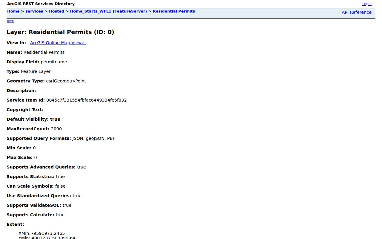
The visible layer fields describe permits, location, lots, units, plats, and dates. They do not create a household roster.
Greenwood Neighborhood Association Sources
The city's Live and neighborhood resources page points residents toward community and HOA material. Its document center contained an Architectural Control Committee Identification Form from 2016, an Affirmation of Notification Form from 2018, and MyGreenwood App material from 2023. No citywide member directory was found.
Pleasant Valley
Pleasant Valley Homeowners describes 61 single-family homes and posts guidelines, activities, and contact information.
Brookhaven
Brookhaven HOA publishes board, document, event, and contact content, but no public household roster.
Brentwood
Brentwood HOA describes a 195-lot community and offers public documents and homeowner resources.
Other public sources
Homecoming Community and Southlake HOA provide public community or document pages.
These sources confirm named communities, public governance roles, documents, and contact routes. They do not identify all nearby residents, and the set is not a complete list of every association in the city.
Association material works best when the question concerns a shared rule, meeting, public notice, or contact path. Save the page title, date, named role, and document version. A board roster is a dated governance record, not proof that every listed person still holds the role or occupies a parcel. Likewise, the number of lots or homes describes the community's stated scale, not the number of current households. If an association page is silent, the city document center can still confirm forms used for subdivision oversight.
Greenwood HOA Documents, Not Rosters
The absence of a public member list is useful information. Greenwood's HOA document center is built around committee and notice forms, not a resident roll. A public board name should be recorded with the document date and role. It should never be expanded into a claim about where that person currently lives.
Open the Greenwood HOA and architectural-control document center.
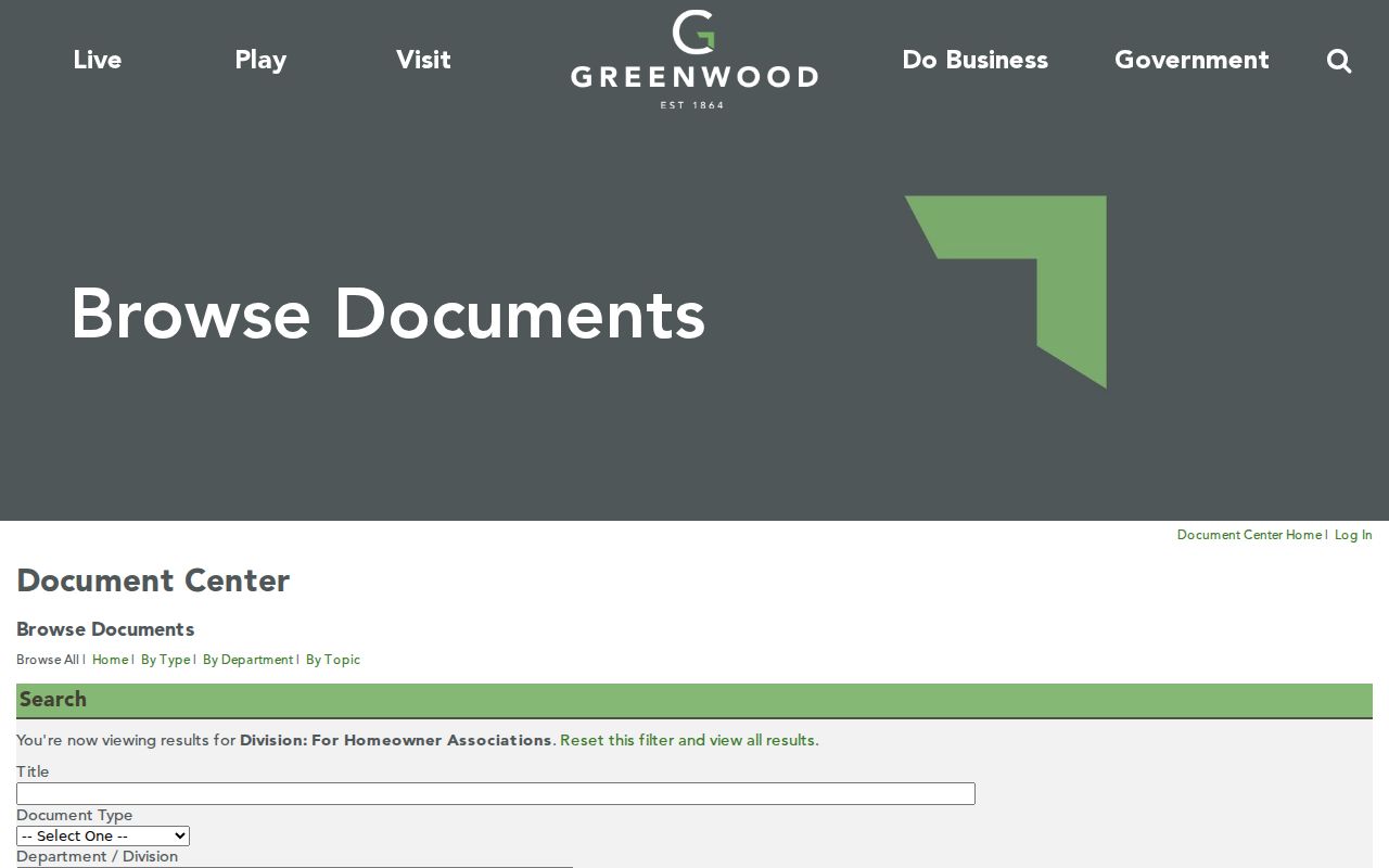
The document list supports subdivision-governance research while confirming that a citywide public member directory was not located.
Projects Near Greenwood Neighbors
Permit and service layers describe what happened near an address at a point in time. Greenwood permit data can carry status, type, created or modified dates, location, road name, unit, plat, and phase. A city permit report may also list a contractor, applicant, or owner role. None of those labels proves that the named person occupied the site.
Review Greenwood's public civic facilities search for nearby municipal places.
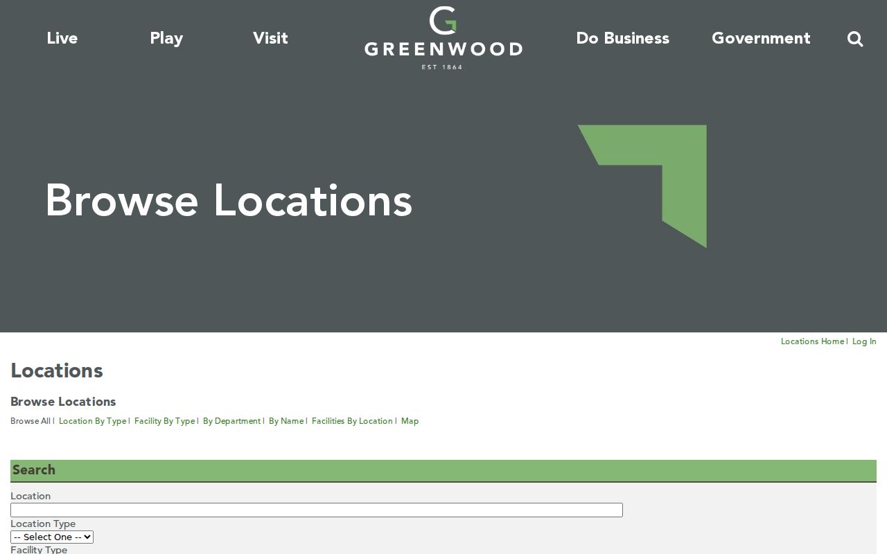
Facilities provide shared-place context for a block without making unsupported claims about private households.
The My Greenwood service request route adds another civic channel for current issues.
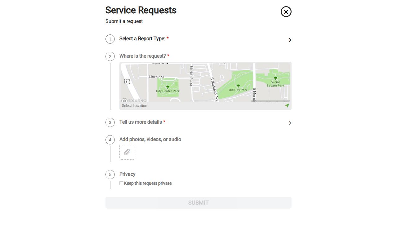
The request screen is a way to report or track city-service concerns, not a source for identifying the people at nearby addresses.
For a permit search, preserve the selected file type because the public interface changes its fields. Permits, development projects, and code complaints are distinct categories. Address and parcel number are optional controls, and code searches can be narrowed by open or closed status. Permit reports may show permit number, issue date, address, lot, subdivision, project name, contractor, applicant, value, fees, and square feet. Quote only the field and role actually displayed in the dated result.
Separate Greenwood Neighbor Record Roles
The fastest way to introduce an error is to merge labels from different sources. An assessor card names an owner for tax purposes. A tax payer may be someone else. A deed records parties to a transfer. A permit identifies project roles. An HOA form may name a board member. A directory captures a dated listing. Each answers a narrow question.
| Official source | Useful strength | Key limit |
|---|---|---|
| Parcel and boundary layers | Direct geographic context and source fields | No verified household relationship |
| County property record | Parcel ownership and tax context | Owner is not always occupant |
| Permit or HOA document | Dated project or public role | Role is not proof of residence |
| Commercial neighbor tool | May combine many data feeds | Unknown dates, matching methods, and error correction |
Official sources still need verification, but they expose the custodian and record role. Commercial results should never replace a parcel, deed, permit, or association source.
A sound block record therefore keeps one row per parcel and one citation per claim. Include the address as displayed, parcel or address ID, source date, geographic relationship, record role, and any uncertainty. If the GIS point does not align with a parcel polygon, do not guess. Recheck the unit, road suffix, municipality, and plat. If a map query yields no named adjacent parcel example, report that limitation rather than turning a nearby point into a claimed relationship.
Privacy for Greenwood Neighbors
No official public social graph or complete household list was found for Greenwood. Parcel layers lack a household or member field. Association sites reviewed did not publish member rosters. Private routines, relationships, and occupancy should not be inferred from proximity. Indiana's Address Confidentiality Program can also shield an eligible participant's actual address through a substitute-address process.
Indiana public-record access does not erase privacy, court, or confidentiality limits. Use the source's stated access route. For voter information, the public self-service Indiana Voters portal is designed for a person to check registration and polling information, not to build a block roster.
Lawful use. Research Greenwood neighbors for civic awareness, local history, reconnecting, or personal safety. Never use public records to watch, intimidate, harass, or harm someone.
State results with restraint. “The parcels share a boundary” is supportable from a map. “These people live next door” may not be. That plain distinction protects both the integrity of the search and the privacy of the block.